[ad_1]
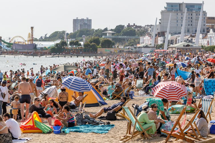
It’s not often that the UK feels as hot as the central Sahara, but there were certainly a few days in the summer of 2022 when that was the case. Such heat waves can occur when the Sahara arrives on our doorstep on the back of unusual winds. How do these events work and what can we expect from them in the future?
Heat waves are made in several ways, starting with intense sunshine. But as the early weeks of the summer of 2023 in the UK have shown, you can have noticeably cool air and bright, near-peak summer sunshine at the same time.
What really raises the temperature is the importing of heat from somewhere else. That process is often very efficiently carried out by the wind and that somewhere is the Sahara, when a southerly wind blows for long enough. We have come to call these events African plumes, or sometimes Iberian plumes as you may have heard them described in recent weather forecasts. They only visit the UK a few times a year.
Where plumes come from
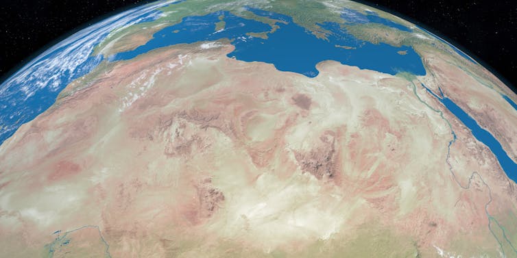
African plumes are characterised by a hazy atmosphere laden with dust from the Sahara – the biggest source of that material anywhere on the planet come the summer months in the northern hemisphere.
Very large particles of dust are raised from the desert surface by gusts blowing over hundreds of kilometres, produced by the outflow of energy from thunderstorms. The big bonus following the arrival of this air in the UK is very colourful sunsets, as the setting rays are scattered by the dust, leaving only the red colours of the more elusive longer wavelengths of light for us to see.
While the process of importing heat from afar might sound exotic, it isn’t really. That is exactly what the weather is geared to do. Every day the Earth’s atmosphere has to respond to a never-ending problem of being inundated by an unfathomable amount of energy from the sun and to make things interesting, that energy is unevenly distributed so that some regions, such as the tropics and subtropics receive lots and other regions, notably the high latitudes and polar regions, very little.

ManuMata/Shutterstock
Outside the tropics, the number one method for sorting out that discrepancy in energy is to move heat in the winds. In the northern hemisphere, winds from the south are warm and those from the north cool. A constant supply of cool northerly wind has been a key reason why decent June sunshine hasn’t raised temperatures just yet this summer. By crossing latitudes, cool winds going south and warm winds going north help to even up the problem of uneven heating from the sun.
At the latitudes of the UK, weather systems transport more than 3 petawatts of heat polewards. That is about 300 times the installed electricity generation capacity worldwide. If the climate system is so good at carrying out this heat transport, what is it that makes the African plume events infrequent?

Daniel Bond/Shutterstock
First, to line up a wind which blows all the way from the Sahara to the UK takes a special configuration of pressure systems. No one low or high pressure system is quite big enough to do this on its own. And second, that configuration has to stay in place for at least three days because the wind has to travel the better part of 3,000 km.
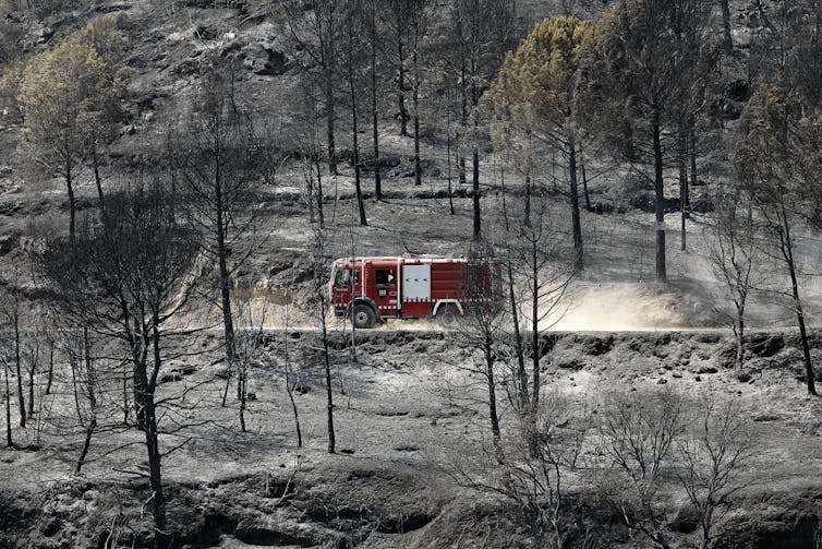
Assuming those things are to hand, the UK can experience Sahara-like conditions. Of course, the temperature of the wind will be modified as it makes its journey, in this case, cooling slightly the further it gets from the furnace of the Sahara. But that cooling process is much less efficient than you might think. Air retains the conditions at its origin quite stubbornly, and crossing the hot Iberian Peninsula as African plumes have often done in the past – a part of the world which is warming steeply as a result of climate change – doesn’t help.

EPA-EFE/Andreu Dalmau
What the future has in store
Will warming in the UK in future decades result in more African plumes? Well, here’s the surprise. Meticulous work by the Met Office which involved slicing up British weather into 30 different types showed that three out of four of the patterns which can generate southerly winds from the overheated Sahara are actually projected to become less frequent in future, and only one (a southerly wind driven by a high pressure system over Scandinavia) is expected to increase.
Likewise, the persistence or longevity of those weather patterns (and remember, to get the Saharan heat to the UK requires it persisting for three days or more) decreases for three out of four patterns, again only increasing in the case of the Scandinavian high. Meanwhile, there are also weather patterns which can transport heat from central Europe to the UK. And the Met Office work shows that these patterns are set to increase in frequency in the future – and also extend into the autumn months.
Dry soils over Europe reinforce the heat-making pressure pattern. Sunshine warms a dry surface much more readily than a wet one. So Europe is a source of intense heat for Britain too, with temperatures not far off those of the Sahara.
This plume of heat forecast for early June is a good example. We might lose those striking sunsets made of Saharan dust, but the heat is here to stay.
[ad_2]
Source link


